 |
|
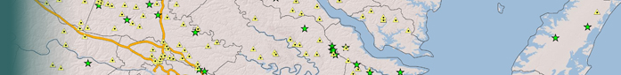
What is INSTAR? INSTAR (INteractive STream Assessment Resource) is a dynamic and interactive mapping and data visualization application. INSTAR allows users to access and manipulate a comprehensive (and growing) database representing over 2,000 aquatic (stream and river) collections statewide. Data represent fish and macroinvertebrate assemblages, instream habitat, and stream health assessment, based on integrative, multimetric indices at the watershed scale and a stream reach scale. The application supports user-driven database queries, mapping functions, and online editing capabilities. ****INSTAR version 3.0 is now in Beta. Click the Lauch Application |
Upcoming Events |
1/28/2010 - INSTAR is running. Virginia's Healthy Waters Booklet available!!!
|
|
View the Richmond Times Dispatch's article.
You can also download the pdf . |
|
| This document was last updated on
January 14, 2010
Virginia Commonwealth University Center for Environmental Studies 1000 West Cary Street - Richmond, Virginia 23284 - 804-828-7202 (Phone) - 804-828-1622 (fax) - Contact the INSTAR team |
 |